
CFD-Based Post-Correction Reduces LiDAR Mean Wind Speed Errors by Up to 5.7 Percentage Points
Validated across 15 sites in Brazil, from flat terrain to very complex relief, with Casa Dos Ventos
From flat terrain to very complex terrain, Meteodyn WT's CFD Correction of LiDAR data was put to the test across 15 LiDAR campaigns in Brazil, in partnership with Casa Dos Ventos. This study results in a significant reduction in wind speed errors, reaching up to 5.7 percentage points. Download the scientific poster, presented at the WindEurope Technology Workshop 2026, for the full site-by-site results.
CFD-Based LiDAR Data Correction: A Large-Scale Validation Across 15 Sites in Brazil
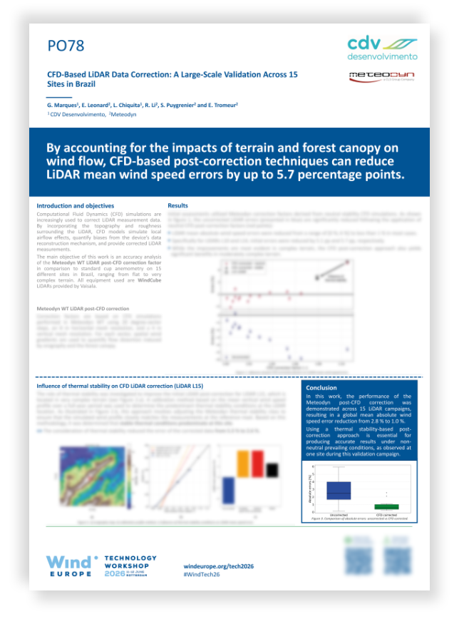
What you will find in this poster
- The correction methodology in detail: How Meteodyn WT models terrain's influence on wind flow, using 20-degree sector CFD simulations to quantify and correct LiDAR measurement bias site by site
- A 15-site comparative analysis: From flat terrain to highly complex relief, benchmarking WindCube LiDAR data (Vaisala) against reference cup anemometry across a wide range of real-world conditions
- The added value of thermal stability correction: A focused case study on one very complex terrain site, showing how accounting for atmospheric stability refines the standard neutral CFD correction
- A full before/after error comparison: Uncorrected vs. CFD-corrected wind speed errors, site by site
- Practical implications for LiDAR campaign accuracy: What these results mean for anyone relying on LiDAR measurements in complex terrain, and when a post-correction approach becomes essential

